Happy Wednesday, GSFFC community!
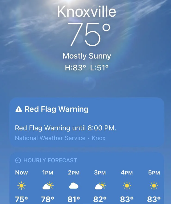
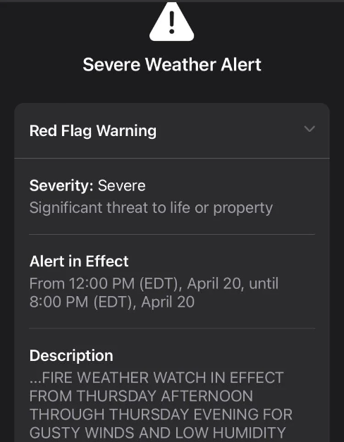
Imagine you’re sitting down to your first cup of coffee in the morning and notice that it looks a little windy outside. You pull out your smartphone and open the weather app to check the forecast. There, at the top of the application, is an alert which reads “Red Flag Warning” from the National Weather Service. What does that mean?
This week’s Wildfire Wednesday will break down severe summer weather alerts, what they mean for fire risk, and how to prepare for Red Flag days.
Today’s Wildfire Wednesday features:
What are Red Flag Warnings?
The geographic scope and learning more about Red Flag Warnings
Recommended actions on Red Flag days
Be well,
Rachel
Red Flag Warnings
What are they?
The origin of the name, Red Flag Warning, is a literal one, according to Tamara Wall of the Desert Research Institute: “If there was… high fire danger, local fire stations would go and run a red flag up the flagpole. It was a very visual, kind of pre-mass communications way to signal to people in the area that it was a high-danger day” (NPR, 4/14/23).
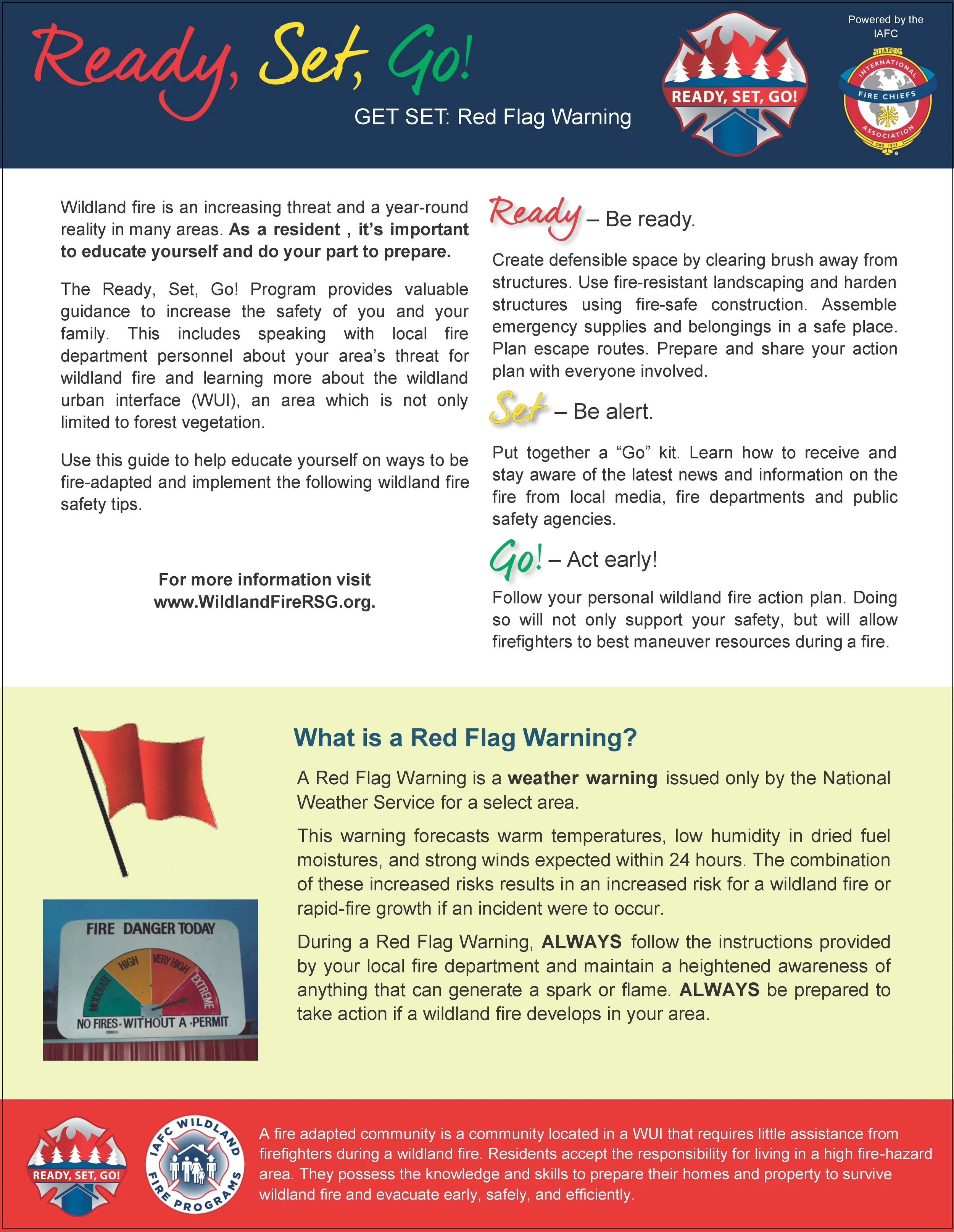
According to the National Weather Service (NWS), which issues these alerts in conjunction with local and state agencies, a Red Flag Warning is part of a weather forecast which indicates a local increase in fire danger risk in the next 12 to 24 hours. This increased risk is due to a combination of critical fuel conditions and critical weather conditions (warm temperatures, very low humidities, and strong winds). This means that if a wildfire starts, the conditions are right for it to spread rapidly and be difficult to contain. Red Flag Warnings differ in timing from a fire weather watch, which warns of the possible development of those conditions in the next 72 hours.
This combination of temperature, humidity, and wind conditions creates what is called critical fire weather. When you see a Red Flag Warning, that also means that critical fire weather is currently or will soon be occurring. The alert, whether online, on the news, or on your weather app, will usually indicate how long the Red Flag Warning is forecast to last. Fire management personnel take Red Flag Warnings into account and may respond by changing staffing numbers or preemptively moving resources into a certain region to be prepared for a potential ignition. During extended periods of high risk, local authorities may consider policy decisions like banning campfires or closing specific areas (see ‘What you should do’, below, for more information).
Indication of fire weather
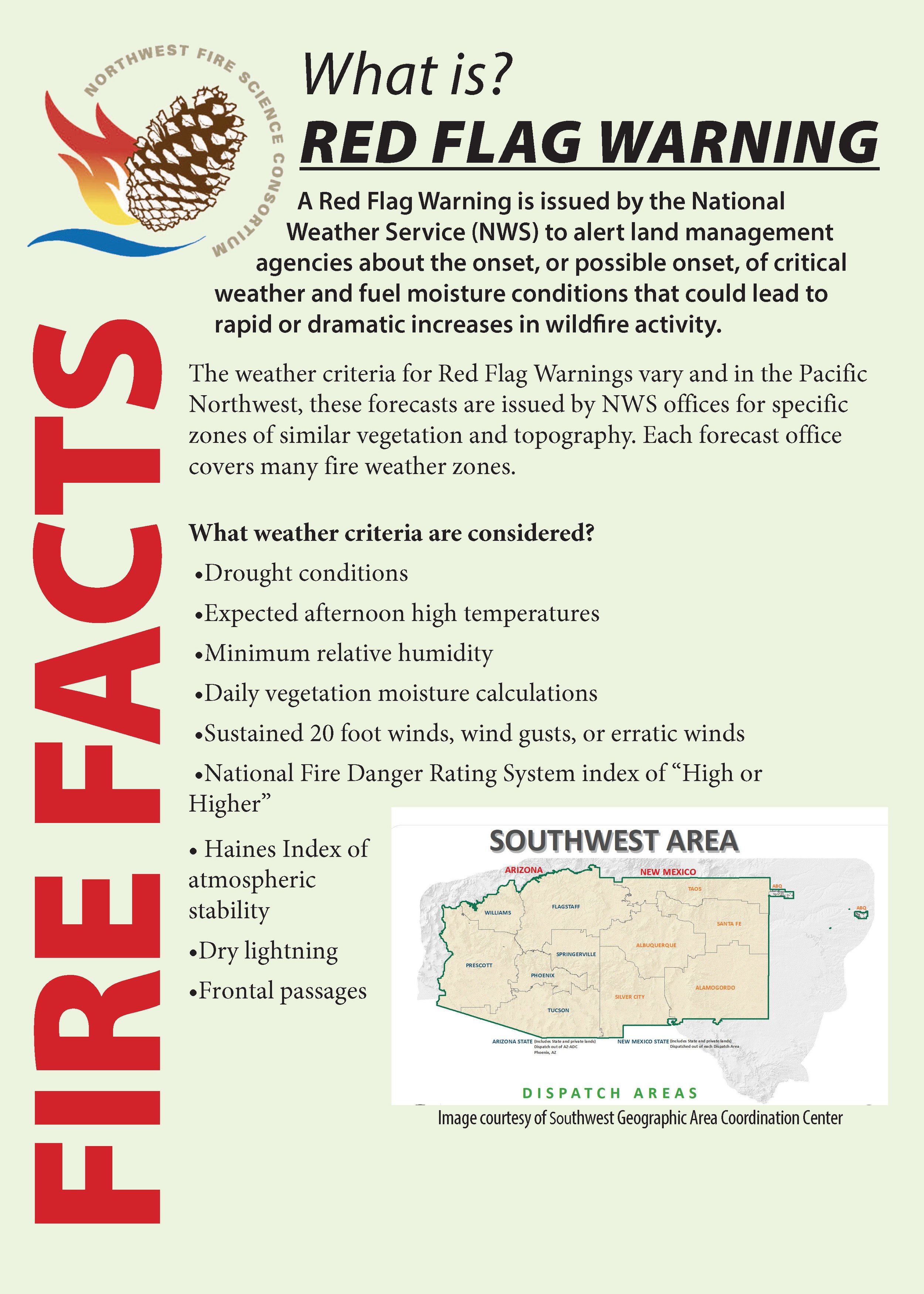
The four critical weather elements that produce extreme fire behavior are low relative humidity (RH), strong surface wind, unstable air (an incoming or outgoing storm system that creates a significant temperature differential between the land surface and lower atmosphere), and drought (NWCG, Critical Fire Weather). In the Southwest, drought becomes an important precursor to critical fire weather by drying out live vegetation as well as logs, sticks, needles, and grass on the ground, therefore increasing fuel availability. These weather elements, combined to create an unusually dry airmass for the region and season, produce extreme fire behavior when a fire does start.
Drought serves to pre-dry flammable material (fuel) and weakens live vegetation by decreasing the amount of water available, making it more susceptible to pests, disease, and mortality. Warm temperatures and low humidity (moisture in the air) further dry fuels, priming them to burn just like cured firewood. Unstable air creates erratic and often strong winds at ground-level, providing ample oxygen to fire starts and quickly fanning the flames to push the fire through those cured fuels. In this way, fires burn hotter, climb up into the forest canopy, and move faster. As the fire gets bigger, it will begin to pre-heat the vegetation and fuel ahead of the flaming front, enabling it to burn even faster and eventually create its own weather.
With summer and the transition to our monsoonal precipitation pattern rapidly approaching, we should note that light monsoons can produce gusty wind, low RH, and lightning without much precipitation.
The geographic scope of Red Flag Warnings
How Red Flag Warnings are forecast
There are several contributing factors for when it comes to issuing a Red Flag Warning, but primary guiding criteria include relative humidity of 15% or less combined with sustained surface winds, or frequent gusts, of 25 mph or greater. Both conditions must occur simultaneously for at least 3 hours in a 12 hour period, according to the National Weather Service.
Meteorologists are moving toward being able to consider how all forecasted weather elements combine to create hazardous conditions, even if they don’t fit the criteria individually. Maybe the RH isn't quite as low as 15%, but the temperature is extremely high and the winds are high, which could lead to dangerous fire weather conditions.
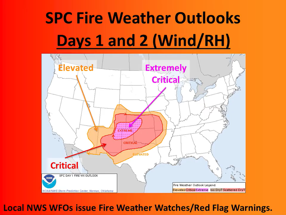
Local forecasts inform the national NWS Fire Weather Outlook forecast by feeding into fire weather composite maps and short-wave ensemble forecasts. For local Red Flag Warning alerts, however, meteorologists look at forecasted temperature, incoming and outgoing storm systems (high- and low-pressure systems) with their potential for wind, the likelihood of wet or dry lightning, the dryness of fuels based on recent precipitation and season, and how local terrain will interact with wind and potential ignitions (YouTube: Forecasting Fire Weather in the US).
While Fire Weather Watches may be issued with meteorologists forecasting up to 8 days in advance, Red Flag Warnings are only issued when the severe fire weather conditions meeting the criteria for these Warnings are expected to begin in the next 12-24 hours.
Local alerts
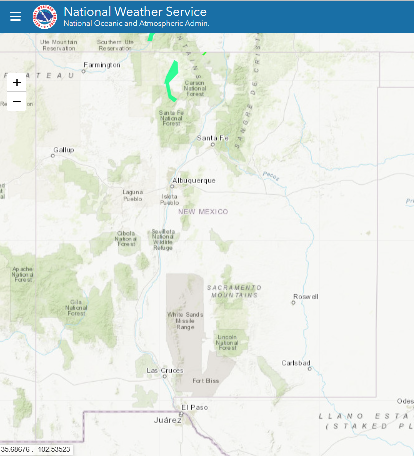
As described in the previous section, fire weather forecasts are specific to a certain geographic area based on storm systems, temperature, terrain, and winds. Accordingly, Red Flag Warnings are site-specific, which means that one part of the state (e.g. the eastern plains near Las Vegas) may be under a Red Flag Warning while another part (e.g. Santa Fe on the other side of the mountains) is not.
The National Weather Service provides information on the scope of Red Flag Warnings. This information may be found in the alert itself (a text box showing what cities or areas are covered by the alert), or can be found by visiting the NWS weather hazards map (far left).
What you should do
How to respond to a Red Flag Warning
Spread the word!
Educate your friends, family, and neighbors on what Red Flag Warnings are, what they mean, and how to respond when they see the warning pop up. Additionally, remind those in your household of the following practical steps to take on Red Flag days.
Research the scope of the Warning and restrictions for your area
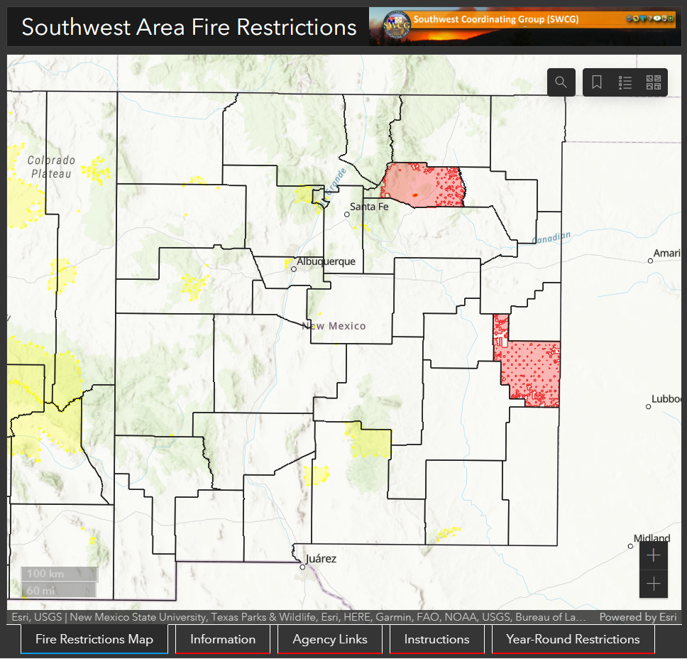
Visit the NWS interactive weather hazard map to determine the area covered by a particular Red Flag Warning. Once you know if your current (or planned) location is under a fire weather watch or Red Flag Warning, visit the local city or county webpage to find out if that area is also under current fire restrictions or burn bans.
Local municipalities may issue burn bans for a single day or several days at a time. These usually indicate that residents should refrain from certain activities, such as burning debris piles and cooking over open fires. State and National Parks as well as National Forests, however, may enter into fire restrictions for long periods of time. These restrictions indicate a prolonged (seasonal) period of dangerous fire weather and visitors to these public lands should refrain from building fires outside of designated fire rings or pits, using chainsaws, and more, based on the level of restriction. During the warm months, it is always a good idea to visit the webpage of your destination park or forest prior to leaving so that you are aware of any restrictions in place.
Adjust your behavior accordingly
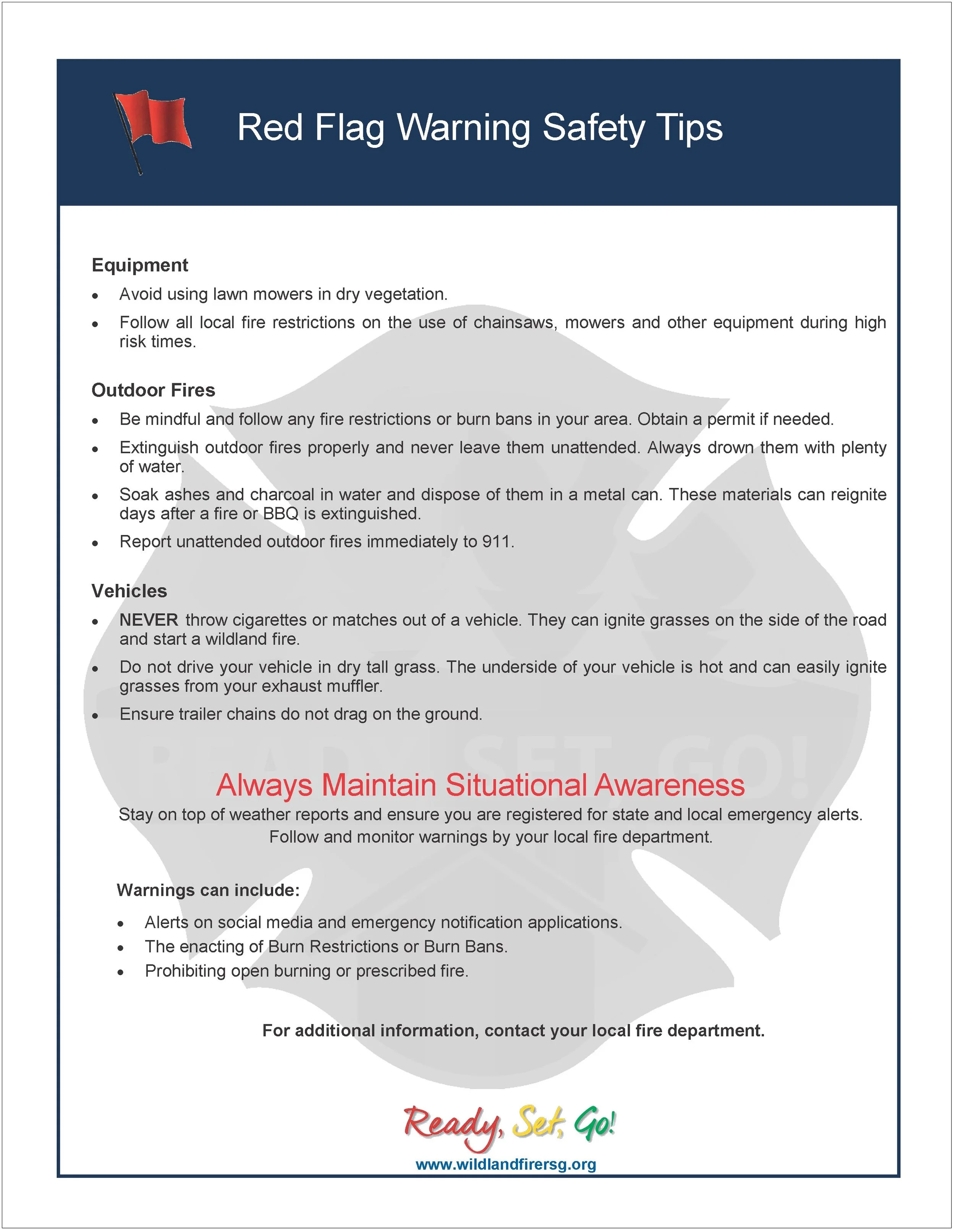
DO NOT burn debris piles.
If you are allowed to burn in burn barrels in your area, cover them with a weighted metal cover, with holes no larger than 3/4 of an inch.
DO NOT throw cigarettes or matches on the ground or out of a moving vehicle. They may ignite dry grass or debris and start a wildfire.
If outdoor fires are allowed, make sure to extinguish them properly. Drown fires with plenty of water and stir with a shovel to make sure everything is cold to the touch with bare skin. Dunk charcoal in water until cold. Do not throw live charcoal on the ground and leave it.
Never leave a fire unattended. Sparks or embers can blow into leaves or grass, ignite a fire, and quickly spread.
Avoid parking a recently driven vehicle on dry grass or other areas with vegetative cover.
Ensure that no chains or hanging metal are dragging from your vehicle or tow-behind trailer which could cause a spark.
Prepare your home
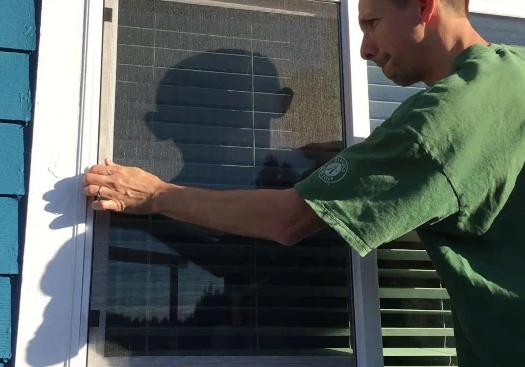
Before leaving home for the day, make sure that all house and car windows are closed and bring flammable materials like outdoor cushions inside the home or garage.
Create defensible space (including removing dead vegetation from around the house and clearing debris from gutters, around doors, and under porches).
Plan for possible ignitions or evacuations
keep your phone charged
make sure you know where your loved ones — especially people with disabilities or mobility issues — are during the day
make a plan for what to do with any pets or livestock in case of an evacuation.
