Hello Fireshed community,
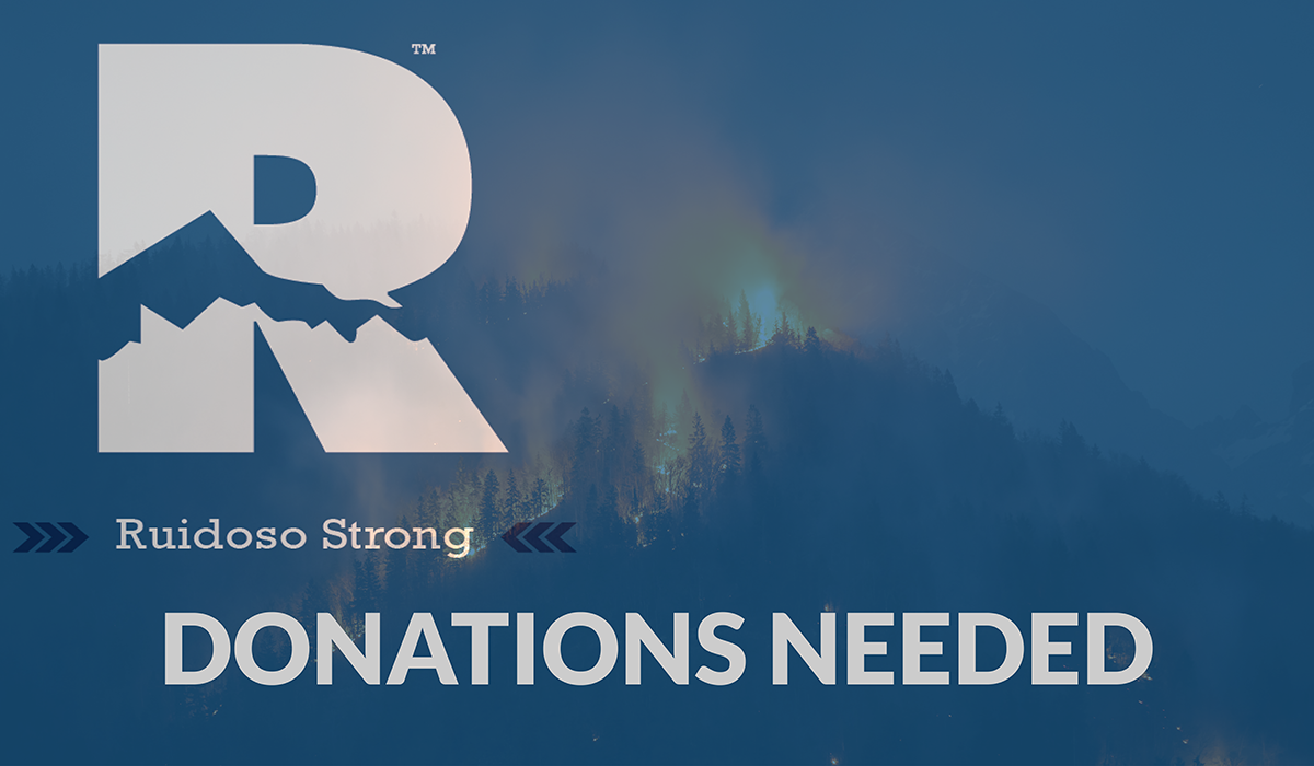
The South Fork and Salt fires, which ignited on June 17, have burned through thousands of acres and hundreds of homes on Mescalero Apache land and in the area of Ruidoso, NM, driven by high winds, hot temperatures, and low humidity. The burn area also continues to be hit by severe storms and flash flooding, together leaving many New Mexicans displaced. To help with recovery efforts, this Wildfire Wednesday focuses on resources to help those affected by the fires, including a gofundme page hosted by the Forest Stewards Guild. The path to recovery for any major disaster, especially wildfire, is long, and there is often a lack of resources in the early stages. Please help by circulating this post to your networks to support the recovery process or by donating time and resources, if you are able.
This Wildfire Wednesday features resources to assist those impacted by the recent fires:
-Rachel
Donation Options
Go Fund Me: Donations to this fund, hosted by The Forest Stewards Guild, will be passed through to a reputable local entity to support evacuation centers and other costs associated with the early recovery effort. Typical expenses include: gas cards, clothing, toiletries, medications, etc.
Greatest Needs Impact Fund: Hosted by the Community Foundation of Southern New Mexico, this Fund is currently directing efforts to Lincoln and Otero Counties. It will provide financial resources to support the immediate and long-term recovery needs for the people, animals, and places effected by the South Fork and Salt fires. This fund is in partnership with the Community Foundation of Lincoln County and their ongoing Shelter Fund, New Mexico Wildfire Relief Fund, and Emergency Action Fund held within the Albuquerque Community Foundation.
Other reputable funds:
The Community Foundation of Lincoln County is taking donations to help the Village of Ruidoso, Ruidoso Downs, and Lincoln County (details here). Donations, such as food and water, can go to the evacuation center at the Inn of the Mountain Gods.
PNM is directing people to donate to the Mescalero Apache Tribe’s Fire Relief fund (details) and the Emergency Action Fund for New Mexico Fire Relief (details).
Supply donations:
The Rio Rancho Regional Chamber of Commerce is partnering with Edit House Productions to collect essential items. Supplies can be dropped off at either the Chamber of Commerce or Edit House Productions on weekdays from 9 a.m. to 4 p.m. The Chamber is also open Saturdays from 9 a.m. to 1 p.m.
New Mexico United is hosting a supply drive for Ruidoso Fire Relief. They’re collecting items at The Team Shop daily from 10 a.m. to 6 p.m.
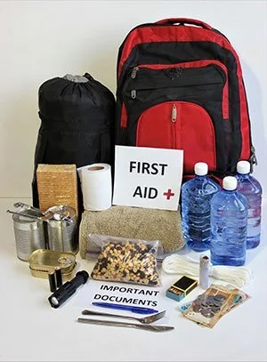
These items are urgently needed: Blankets, pillows, towels, toiletries and hygiene items, nonperishable food items, bottled water, clothing, new socks/underwear, diapers/formula, feminine hygiene products, first aid, pet supplies and food, sleeping bags, bandanas and work gloves and flashlights and batteries.
Emergency Information
Emergency response:
A temporary phone number on the First Responders Network is in place to circumvent the failed cell phone system in the area. Call (202) 794-5044 to check on friends, family, or the status of your home. Call the Public Information Line for general information: 575-323-8258.
If you are having difficulty locating a missing loved one due to a disaster event, call 1-800-Red Cross (1-800-733-2767) for reunification support.

Information hubs:
New Mexico Department of Homeland Security and Emergency Management fire resources
South Fork/Salt Fires Information Hub
Reunite Ruidoso Facebook page
Shelters and evacuations:
https://www.facebook.com/villageofruidoso
https://www.facebook.com/mescaleroapachetribe
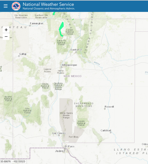
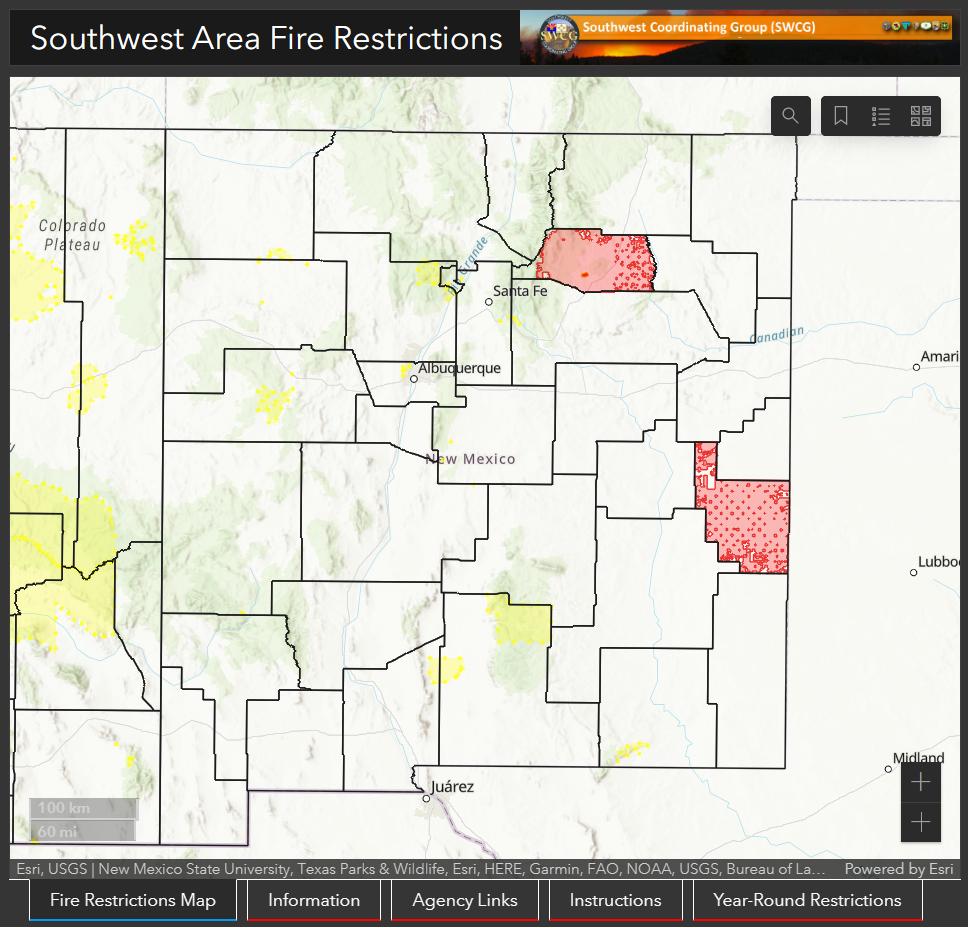
Incident Map: https://www.arcgis.com/apps/mapviewer/index.html?webmap=e2c6d99f914c44cbb18b75e73beef035
Unemployment Assistance

Unemployment assistance from the state is now set up for people losing wages from their displacement due to the South Fork and Salt fires. This assistance is available to people living in Lincoln and Otero counties or on Mescalero Apache land that are workers or business-owners. The assistance is available from June 23, 2024 until December 21, 2024, as long as unemployment is related to the fire and flood disasters. To receive benefits, applications must show how their ability to work was impacted by the fire.
It’s a two-step process to qualify for Disaster Unemployment Financial Assistance.
First: qualifying individuals must apply for Standard Unemployment Insurance online at https://www.jobs.state.nm.us, in-person at a New Mexico Department of Workforce Solutions office, or by calling the Unemployment Insurance Operations number at 1-877-664-6984.
To qualify for the disaster benefits, the state agency will first reject the application for the Standard Unemployment Insurance. Only then can people apply for Disaster Unemployment Assistance. Keep the rejection letter for the second step.
Second: after the application for standard unemployment insurance has been rejected, individuals must call or visit the New Mexico Department of Workforce Solutions (1-877-664-6984, open M-F 8:00-4:30) to submit a disaster benefit application. Proof of employment documents must be submitted to the New Mexico Department of Workforce Solutions within three weeks after filing for disaster unemployment benefits.
The New Mexico Department of Workforce Solutions has set up an office in the Roswell Convention center and deployed a van with computers onboard to assist with applications. Individuals may also visit any Workforce Connection Centers. Local offices are open weekdays from 8 a.m. to 5 p.m.
People are urged to file as soon as possible to meet an Aug. 19 deadline. Any applications filed after Aug. 19, 2024 may be considered “untimely,” and may be denied, according to a press release from the Department of Workforce Solutions.
Fire Updates
Evacuation orders lifted
Parts of the Village of Ruidoso reopened to full-time residents on Monday (6/24) morning at 8 a.m. By Tuesday afternoon, about half of the 8,000 village residents who were evacuated from the South Fork and Salt fires had returned.
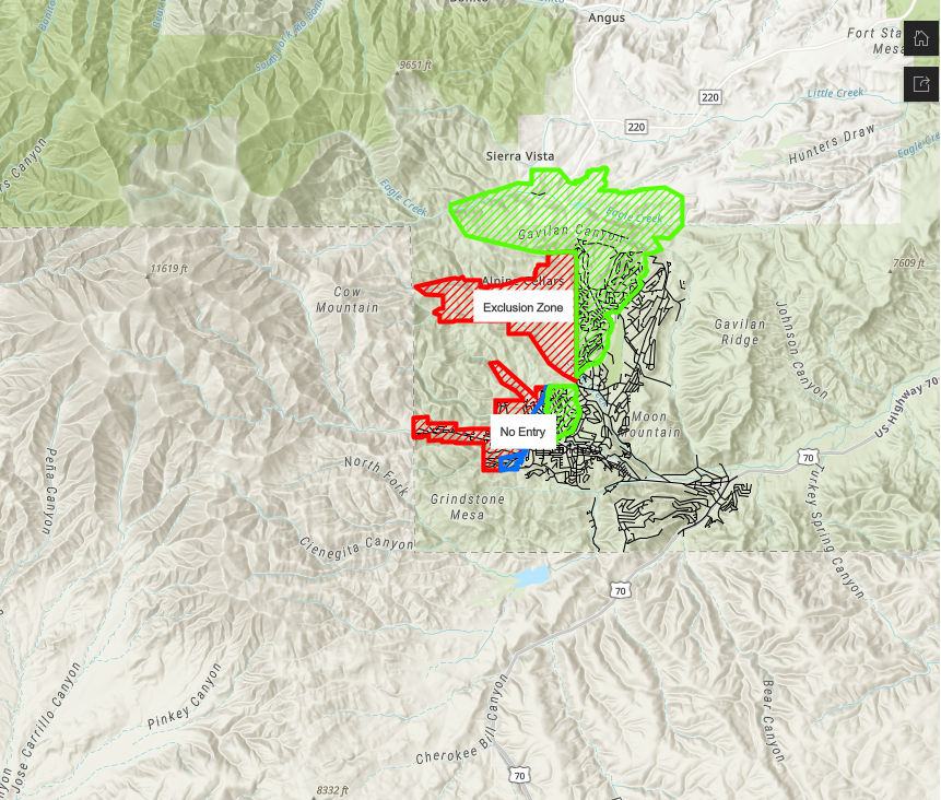
The Village of Ruidoso published an updated map showing parts of the village that were still closed off, called “exclusion zones,” or burned areas with many different crews working in them. In these areas, there was massive fire-caused damage and burned houses. Authorities have cordoned off these places and are treating them as crime scenes until any evidence can be collected.
Federal Disaster Declaration
Otero County was added to the federal disaster declaration in the wake of the South Fork and Salt fires, according to an amendment filed Monday. This means that spending by Lincoln and Otero counties, along with the Mescalero Apache Tribe, to address the fires and floods from last week will be eligible for assistance from the U.S. government. People living in those areas will also be able to seek direct aid, such as unemployment payments (see section above).
Extreme Weather Awareness
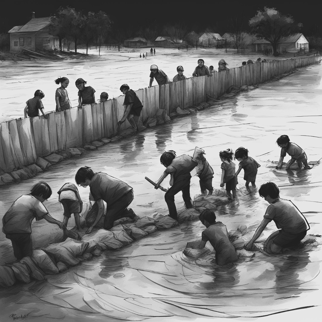
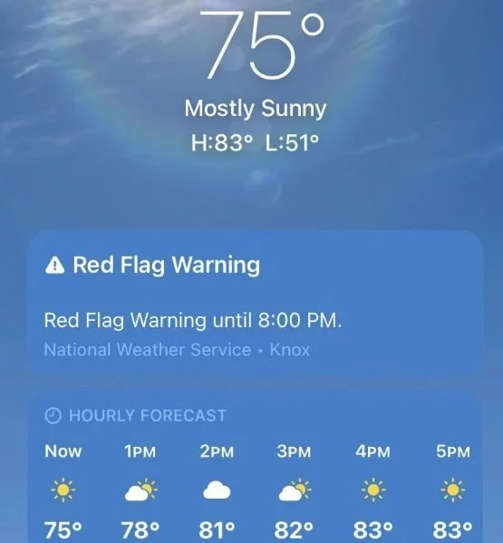
Heat: In addition to fueling wildfires and flooding, extreme weather itself can be a threat to life and property. The Environmental Protection Agency (EPA) has released the HeatRisk Tracker which allows users to view heat risk, especially to those who are pregnant, a child or teen with asthma, or have a heart condition or other chronic health conditions, across the country. While hot days can affect anyone, those with the above conditions can be more susceptible to heat.

Floods: Unexpected floods occur naturally and can happen almost anywhere. Although river and coastal flooding are two of the most common types, fire scars and other areas with drought-ridden or hydophobic soils are often affected, especially when impacted by heavy rains. Flood maps, which show how likely it is for an area to flood, are one tool that communities can use to know which areas have the highest risk. Any place with a 1% chance or higher chance of experiencing a flood each year is considered to have a high risk. Use the FEMA Flood Map Service Center (MSC) to find your official flood map, access a range of other flood hazard products, and take advantage of tools for better understanding flood risk.